Features of the Tara River
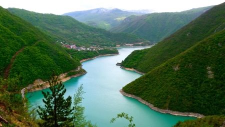
Montenegro - translated from Latin means "Country of Black Mountains" and sometimes replaces the more familiar name of the Balkan state of Montenegro. Indeed, most of this picturesque country is occupied by mountains, overgrown with perennial forests, cutting through the sky.
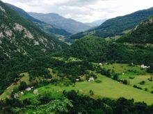
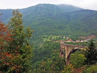
One of the famous landmarks for which Montenegro is famous is the Tara River, which flows in the northwestern part of the country. The huge popularity of the river was brought by the canyon formed in its valley, which belongs to the Durmitor National Reserve and is one of the deepest canyons in Europe.
Description
Montenegrin river Tara has a source in the Komovi mountain range on the border of three settlements: Podgorica, Andrievitsa and Kolashin. It is formed the confluence of two rivers Opasnitsa and Verusha, descending from the peaks. Its designation comes from the name of the ancient Illyrian settlement of the Autariats, for whom Montenegro was their home in the IV-V centuries.
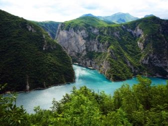
The Tara Current extends 144 km from west to north of the country and continues in Bosnia and Herzegovina (the total area of the basin is more than 1800 km2). There the Tara River, joining with the Piva River, turns into the Drina and flows into the Sava. This entire water chain belongs to the Danube River basin and flows into the Black Sea. On its way, it is fed by the waters of medium-sized mountain rivers (Lyutitsa, Sushitsa, Dragi, Vashkovskaya) and the Baylovich Sige waterfall, descending from the Butsevitsa cave from a 30-meter height.
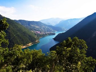
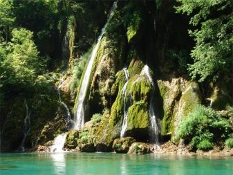
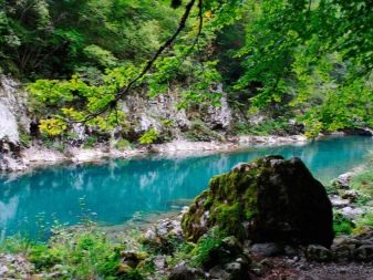
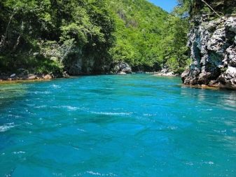
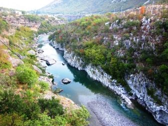
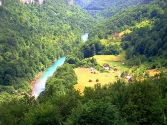
Almost throughout the entire length of Tara, a powerful current prevails, under which many dangerous rapids are hidden, but there are also quiet coves formed by the bends of the river. The largest part of Tara flows among the huge mountain slopes and inaccessible rocks, where it is raging and noisy.Near the place of union with Piva, Tara calms down and slows down. Pebbles at the bottom can be seen through the diamond-clear water. The shades of Tara water shimmer from bright green to pearl-foam.
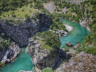
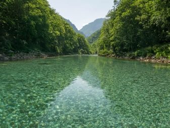
The water in the river remains cool and does not exceed + 12 ° С even on the hottest summer days, and in frosty winters it never freezes.
The ecological purity of the water in the river allows you to quench your thirst without harm to your health, for this reason Tara is called the "tear of Europe" and is the largest storehouse of purified drinking water.
Scenic area
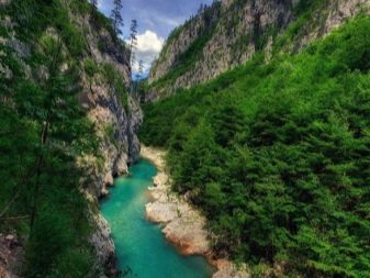
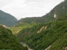
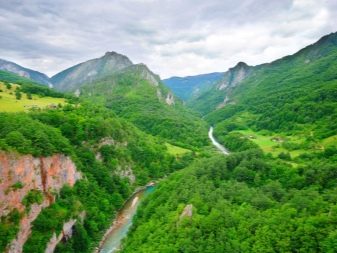
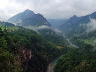
In its middle course, the Tara River creates the largest European canyon, its abyss goes 1300 m deep, and its length is more than 80 km. It is listed as a UNESCO World Heritage Site.
The canyon is divided by the alpine ridges Zlatni Bor and Lyubishnya from one direction, and by Durmitor and Sinyaevina from the other.
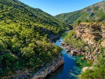

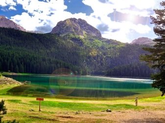
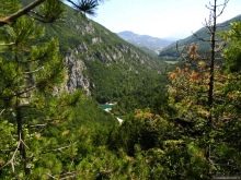
The splendor of the canyon not without reason attracts the eyes of travelers and tourists. Along it, a view of pebble and stone ledges, shrouded in dense coniferous forests, high mountains, small backwaters and sandy beaches, as well as mountain lakes opens up.
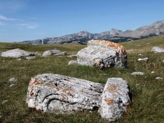
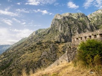
The ancient settlements that lived in the Tara Valley also left a piece of their history. On the mountain plains, necropolises, burial places, monasteries, fortresses, old mills and other elements of architectural structures remained.
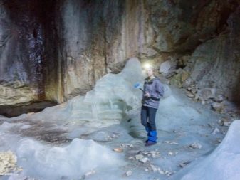
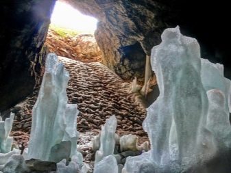
On the mountain slopes near the river, there are about 80 different caves, many of which have not yet been fully explored. The Skrk Cave, which is located near the Black Lake, is the deepest in Europe. Its length goes 800 m deep into the rocks. And at an altitude of 2040 m near the Obla Glava peak is the Ice Cave.
Its depth is only 100 m, but it is known for the fact that it maintains a constant sub-zero temperature, forming ice stalactites and stalagmites, delighting everyone with their unusual beauty.
One cannot ignore the diverse flora and fauna, especially the most unique part of the canyon - the ancient pine forest of Crna Poda. The black pines of this area are more than four hundred years old, and they stretch upwards for fifty meters. Many rare deciduous trees have taken root on the mountain slopes, some of them are protected by the reserve. The fragrant forests in the valley of the Tara River are home to a huge number of animals and birds, and the waters of Tara are full of different types of fish.
Unique bridge
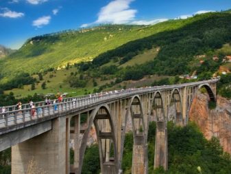
At an altitude of more than 100 m above the Tara River, a wonderful 5-arched bridge has been erected, which has become the business card of the region. It was built in 1940 in the town of Djurdzhevich according to the project of Miyat Troyanovich by the designer Lazar Yaukovich. Bridge proudly rises above the waters of Tara and fits perfectly into the landscape.
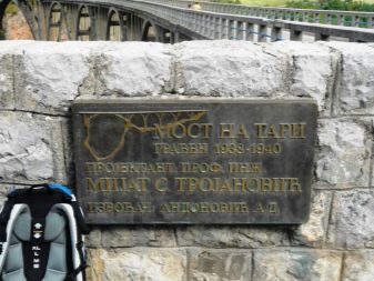
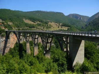
During the Second World War, in order to block the path of the enemy, engineer L. Jaukovich developed an optimal plan for undermining the bridge. It consisted in blowing up the central arch of the bridge in such a way that after the end of the war, the bridge would be easy to restore. As a result of the operation, the bridge was blown up and the enemy was stopped. Engineer L. Yaukovich was shot for organizing the blowing up of the bridge.
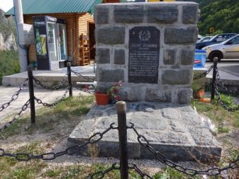
After the war, in 1946, the Djurdzhevich Bridge was completely restored, and a monument was erected to the hero L. Yaukovich at the place of his death.
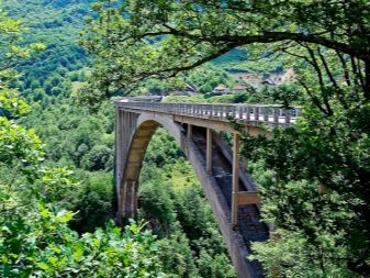
In those days, the Djurdjevic Bridge was the only connection between the southern and northern parts of Montenegro. The total length of the bridge is about 360 m and the height is 135 m - it is one of the largest arched bridges in Europe.
Currently, it is difficult to cross the bridge freely due to the large groups of tourists.
Tourist significance of the canyon
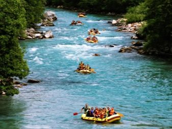
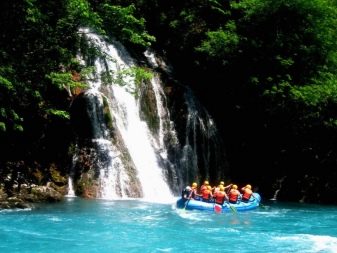
The most common type of tourist recreation for which Montenegro is famous is mountain river rafting... This type of tourism is a rafting by the rapids of Tara (there are more than 40 of them) on inflatable rafts. At the beginning of spring, Tara becomes full-flowing and more turbulent, which inflames the thirst for adrenaline among extreme tourists. During this period, rafting on the river reaches 3-5 points in terms of the complexity of the route.
Rafting must be accompanied by a professional instructor using the appropriate equipment.
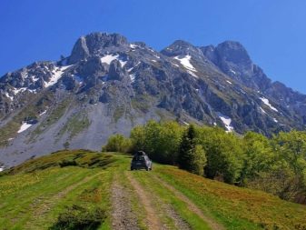
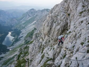
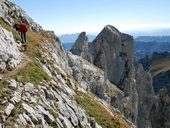
The mountain peaks of Durmitor attract a huge number of groups of tourists and climbers. Mountain bike rides on a variety of cycling routes are common in the area. For hikers, there are also many rocky trails and camping sites. However, it is not recommended to carry out independent trips by private or rented car, since the routes are very difficult, they contain many serpentines, tunnels, narrow places and dangerous turns.
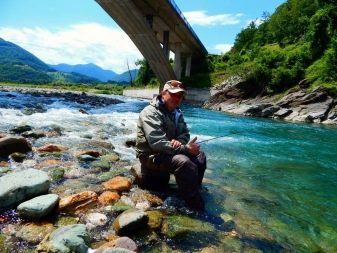
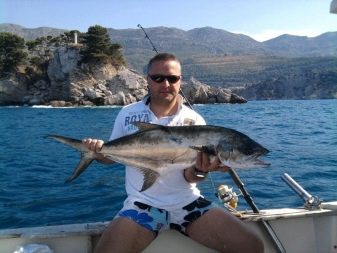
Fishing fans can also find something to do on the Tara River, where fishing tours are organized throughout the year.
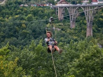
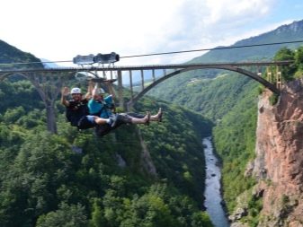
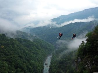
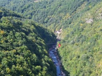
For thrill-seekers, there is an opportunity to go down from the Djurdjevic bridge by zip-line. Depending on the duration of the route, the flight over Tara lasts from 40 to 80 seconds. At the moment of flight over Tara at a great height, incredible mountain landscapes, a view of the canyon, river, forest open up. The nature in the Tara valley is incredible, amazing, capable of leaving many bright moments in your memory.
The northern part of Montenegro is a unique natural treasure of incredible values. The peculiar climate, flora and fauna are definitely worth the attention of travelers. The Tara River, located among sheer cliffs, is a unique miraculous creation of nature. The picturesque places in its valley, which have preserved their virgin beauty, will be appreciated by all lovers of ecotourism and simply connoisseurs of relaxation and natural beauty.
Tara Canyon is one of the wonders of the world that you should definitely see!
Next, watch a video review of the Djurdzhevich Bridge and the Tara River Canyon.


